Intelligent Automation for Geospatial Knowledge Graphs
Transforming data analysis through innovative automation solutions.
Simulate geographic data environments for insights.
Analyze data accuracy and update frequencies effectively.
Construct mathematical models for intelligent automation.
Innovating Geospatial Knowledge Automation Solutions
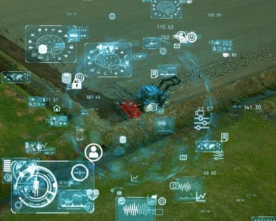
At VectorNexus, we specialize in intelligent automation of dynamic geospatial knowledge graphs, utilizing advanced technologies and data analysis to enhance accuracy and efficiency in quantitative research.
Transformative insights through intelligent automation.
VectorNexus
"


Intelligent Automation Solutions
We specialize in intelligent automation of dynamic geospatial knowledge graphs for enhanced data analysis.
Geospatial Data Analysis
Simulate geographic data environments and analyze construction time and data accuracy rates.
Mathematical Modeling Services
Construct mathematical models to explore relationships affecting intelligent automation and data accuracy.
Utilize Python and MATLAB for comprehensive data analysis and optimization in research projects.
Research and Development


Geospatial Automation
Innovative platform for intelligent automation of geospatial knowledge graphs.


Data Analysis Tools
Utilizing Python and MATLAB, we analyze geographic data environments and applications, focusing on construction time, data accuracy, and update frequency in knowledge graph development.


Modeling Techniques
Constructing mathematical models to explore relationships and optimize intelligent automation effects in geospatial knowledge graphs through rigorous data analysis and simulation.
Real-time data acquisition is carried out through IoT sensors, satellite remote sensing, drone aerial photography, social media positioning and other channels, and automated ETL (extract-transform-load) tools are used to process structured (such as GPS tracks), semi-structured (such as remote sensing image metadata) and unstructured data (such as street view image text). For example, in urban traffic management, smart cameras and RFID sensors can automatically collect data such as vehicle speed and vehicle model, and preliminarily clean abnormal values through edge computing nodes.
The data of different coordinate systems (such as WGS84, GCJ-02) and time granularity (minutes to years) are uniformly converted into ISO 19100 geographic information standards by using automated rules, and efficient storage is achieved by combining spatiotemporal indexing technologies (such as QuadTree and GeoHash). A smart logistics platform has improved the processing efficiency of national logistics node data by 40% through this technology.


Use deep learning models (such as BERT+CRF) to automatically identify geographic entities (such as "Pearl River Delta" and "Beijing-Hong Kong-Macao Expressway"), and extract relationships between entities (such as "adjacent", "included", and "affected") in combination with spatiotemporal context. For example, in ecological monitoring, the algorithm can automatically extract the causal chain of "typhoon path → coastal city rainfall → farmland waterlogging" from meteorological data.